Started from Thampanoor.
There is a direct bus from Thampanoor at 6:20am to Breamore.
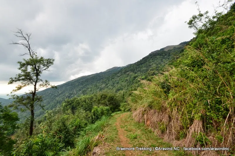
It reached Braemore at 8:30am


Madam Falls,


We had our lunch there, then started for the next landmark.

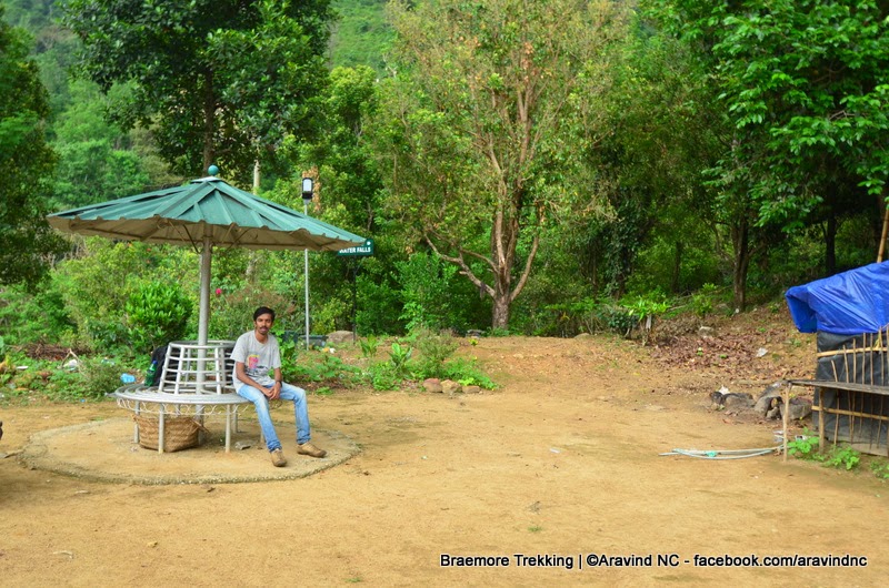
People can stay here in-case of rain.


Helipad near Madam Falls, there is a settlement also. Travelers can rest/stay during night in the settlement, but they have to get prior approval from the Estate Manager. There is a small kitchen and a hall area. In the open space, people usually setup camp fires at night.


Water pool for animals,

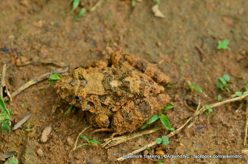
Its a frog,

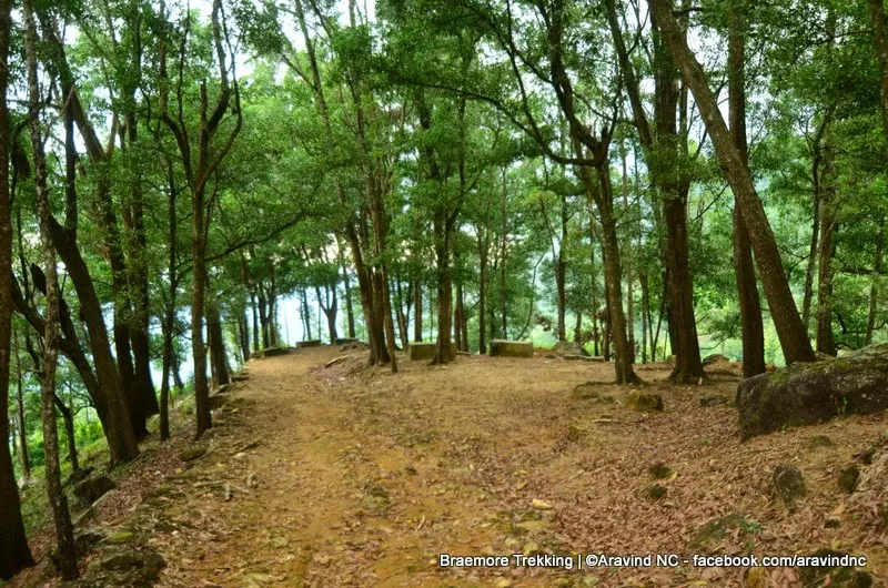
We started trekking to Ramayana Cave, we have no idea where it is. So we started walking forward hoping to find it at the earliest.


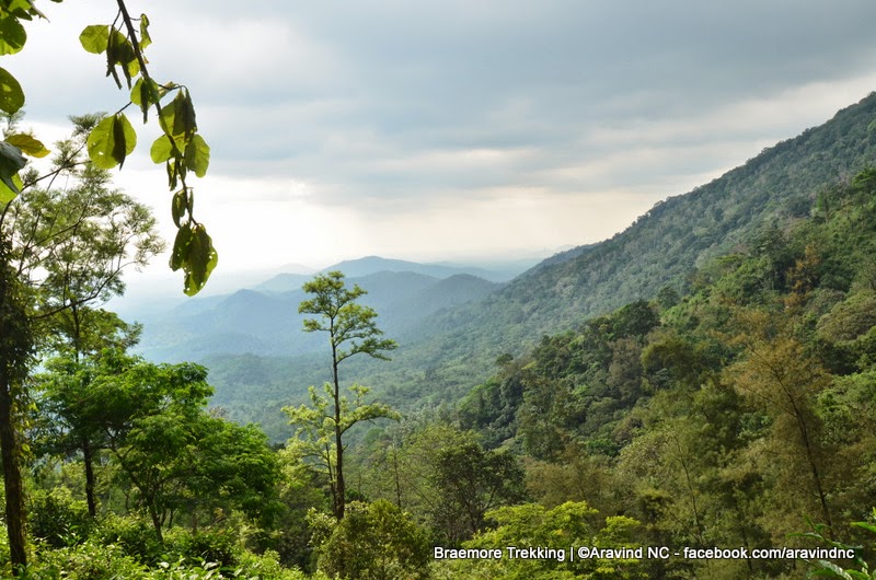
Varayattu Motta in the backdrop,


Yes, finally the Ramayana Cave

The Ramayana Cave

1000's of year old cave. Legend says that Rama stayed here during his Vanavasa period.


The piece of wood was not Rama's :) Its the remains of some other traveler/natives stayed there some days ago.


See the Banyan Tree(ആല്മരം) in the left, tampered by Elephant.


Bus timings,
Trivandrum - Breamore
6:20 AM
(Not sure about the rest)
Breamore - Trivandrum
9:30 AM
3:00 PM
6:30 PM
There is a direct bus from Thampanoor at 6:20am to Breamore.
It reached Braemore at 8:30am


Madam Falls,


We had our lunch there, then started for the next landmark.

People can stay here in-case of rain.


Helipad near Madam Falls, there is a settlement also. Travelers can rest/stay during night in the settlement, but they have to get prior approval from the Estate Manager. There is a small kitchen and a hall area. In the open space, people usually setup camp fires at night.


Water pool for animals,

Its a frog,
We started trekking to Ramayana Cave, we have no idea where it is. So we started walking forward hoping to find it at the earliest.


Varayattu Motta in the backdrop,


Yes, finally the Ramayana Cave

The Ramayana Cave

1000's of year old cave. Legend says that Rama stayed here during his Vanavasa period.


The piece of wood was not Rama's :) Its the remains of some other traveler/natives stayed there some days ago.


See the Banyan Tree(ആല്മരം) in the left, tampered by Elephant.


Bus timings,
Trivandrum - Breamore
6:20 AM
(Not sure about the rest)
Breamore - Trivandrum
9:30 AM
3:00 PM
6:30 PM